Midtown by black car, in one paragraph
Midtown Toronto — the Yonge–Eglinton core with its office towers and condominiums, Davisville and Mount Pleasant to the south and east, Forest Hill to the west and Lawrence Park to the north — is served by a black car that knows the Eglinton Crosstown's construction legacy (a decade of closed lanes on Eglinton from Mount Dennis to Kennedy, now opening station by station), the towers' driveways on the side streets off Yonge (Eglinton's towers use Duplex, Holly and Redpath rather than Yonge or Eglinton), the Allen Road as midtown's airport artery (Eglinton West to the Allen to the 401 west to the 427 — 30 to 40 minutes to Pearson), the Yonge subway's honest role for a Union Station trip, the private schools' morning and afternoon pickups (Upper Canada College, Bishop Strachan, Havergal, Crescent, St. Clement's and the rest), the restaurants along Yonge and Eglinton and Mount Pleasant, and the residential streets of Davisville and Forest Hill where a car stops at the door. The midtown neighbourhood page books it.
Midtown was, for a decade, the city's largest construction site: the Eglinton Crosstown LRT's tunnel and stations closed lanes along Eglinton from Mount Dennis to Kennedy, turned Yonge and Eglinton into a maze of barriers, and made every curb in the core temporary. The line's opening restores Eglinton's lanes, station by station, and changes the district's geometry — but midtown was always a place with its own rules: towers whose driveways are on the side streets, residential neighbourhoods on either side where a car stops at the door, the Allen Road as the airport route that downtown does not have, and the private schools whose pickups define the morning for a certain kind of family. This guide covers midtown from the driver's seat: the core and its doors, the Crosstown's effect, the Allen, the subway, Davisville and Mount Pleasant, Forest Hill and Lawrence Park, the schools, the restaurants and shopping, the hospital and the offices, the airport routes, and a worked midtown day.
The Yonge–Eglinton core and its doors
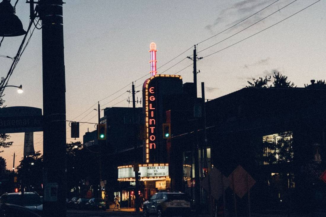
The core's towers — the office buildings at the four corners (the Yonge Eglinton Centre, the RioCan towers, the new residential towers on all sides), the condominiums on Eglinton East and West, Duplex, Holly, Redpath, Broadway and Roehampton — have driveways and porte-cochères on the side streets, because Yonge is a bus and traffic corridor with no stopping and Eglinton was a construction zone; a chauffeur meeting a passenger at a Yonge–Eglinton tower stops on Duplex (west of Yonge), Holly or Redpath (east of Yonge), Roehampton or Broadway (north), and the passenger walks the half block. The Yonge Eglinton Centre's own lay-by on Duplex behind the mall serves the shopping and the offices, and the executive car service article's tower discipline applies.
The Eglinton Crosstown effect
The Crosstown's construction closed Eglinton's curb lanes, narrowed the intersections and moved the bus stops for years; its opening — the line runs from Mount Dennis to Kennedy with the midtown stations at Eglinton, Mount Pleasant, Avenue and Chaplin — returns Eglinton to two lanes each way with the LRT underground through midtown, restores the curb lanes for stopping where the City allows it, and takes the Eglinton buses off the road. For a black car, the practical changes are: Eglinton is a route again between the Allen and Yonge; the Eglinton station's entrances at Yonge draw crowds at the corners; and the passenger who used the Crosstown from Pearson via the UP Express and the Eglinton line at Mount Dennis has a new option the UP Express comparison will note. The summer construction routing article covers the road works that continue around the line's edges.
The Allen Road: midtown's airport artery
Midtown's advantage over downtown is the Allen: from Eglinton West at Bathurst, the Allen Road runs north to the 401 in six minutes, and the 401 west to the 427 and Pearson in twenty more — a 30-to-40-minute airport run from Yonge–Eglinton that avoids the Gardiner entirely. The Allen's northbound morning and southbound evening rushes at Lawrence and at the 401 add ten minutes at the peaks, and the rush hour article covers them; the Pearson page books the run and the Pearson to downtown hotels article explains why a chauffeur bound for Yorkville or midtown from the airport takes the 401 and the Allen rather than the Gardiner.
The Yonge subway, honestly
A midtown resident going to Union Station at 5 p.m. takes the subway — Eglinton to Union is fifteen minutes and the car is forty — and a chauffeur says so; the car is for the airport, the evening, the family, the luggage, the client and the hours the subway does not serve, and the limo for one passenger article works the honest arithmetic. Eglinton, Davisville, St. Clair and Lawrence stations are the district's subway doors and a car meeting a passenger at one stops on the side street the station's entrance faces.
Davisville and Mount Pleasant
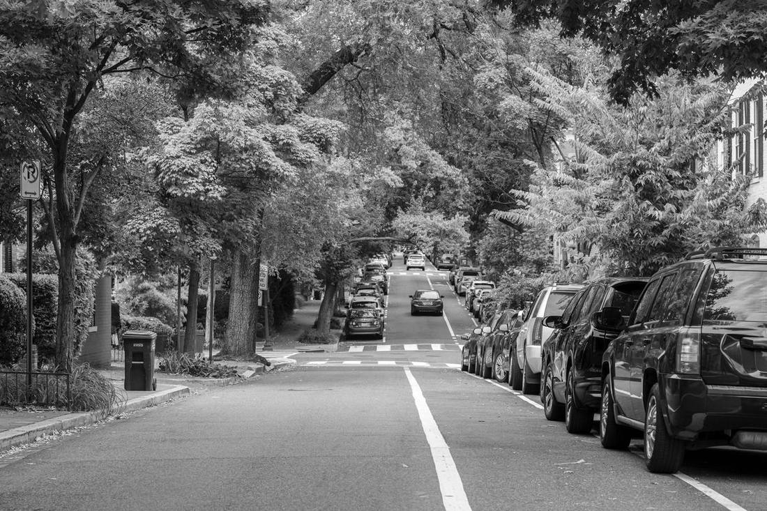
South of Eglinton, Davisville Village's streets between Yonge and Mount Pleasant — Belsize, Manor, Millwood, Davisville, the streets of semis and small apartment buildings — and Mount Pleasant Road's shops and restaurants (the Mount Pleasant strip from Eglinton to Davisville) are residential and easy: a car stops at the door, the streets are two-way with parking on one side, and the only rule is the rush-hour no-stopping on Mount Pleasant and Davisville themselves. The neighbourhood's black car bookings are the airport run, the standing order, the evening out and the family's trip; the families with luggage article and the child seats article cover the family's SUV.
Forest Hill and Lawrence Park
West of Yonge and north of St. Clair, Forest Hill's streets — Old Forest Hill Road, Dunvegan, Russell Hill, Vesta, the streets around Forest Hill Village at Spadina and Lonsdale — and, north of Lawrence, Lawrence Park's — Mount Pleasant's northern stretch, Blythwood, Dawlish, the streets of the Alexandra Park ravine — are the real estate agents article's showing-day territory and the city's most consistent black car neighbourhoods: driveways that fit a sedan, a Spadina Road or Avenue Road route to the Allen and the airport, and the Yorkville guide's district ten minutes south for the evening. Forest Hill Village's shops at Spadina and Lonsdale have a lay-by on Lonsdale; Lawrence Park's Yonge Street strip at Lawrence has side-street curbs.
The private schools
Upper Canada College (Lonsdale at Avenue Road), Bishop Strachan (Lonsdale), Havergal (Avenue Road at Lawrence), Crescent (Bayview at Lawrence), St. Clement's (St. Clements Avenue), Branksome Hall (Mount Pleasant at Elm, in Rosedale's north), the Toronto French School (Lawrence at Bayview), York School (Yonge at St. Clair) — midtown's private schools define the 8 a.m. and 3:30 p.m. traffic on Avenue Road, Lonsdale and Lawrence, and a family's black car booking for a school run, a boarder's airport transfer at term's start and end, or a visiting family's tour day follows each school's drop-off rules (a designated lane, a time window, a name on the car's dashboard). The graduation and convocation article covers the June ceremonies and the families article the boarder's trunk.
Restaurants and shopping
Yonge Street from Eglinton to Lawrence and from Davisville to St. Clair holds the district's restaurants; Mount Pleasant's strip its bistros; Eglinton's Yonge Eglinton Centre and the shops of Eglinton West and Bayview Village (the North York guide covers Bayview) its retail; and a midtown evening is a side-street pickup from a Yonge Street restaurant with the chauffeur waiting on Roehampton or Manor. The fine dining article covers Scaramouche in the Benvenuto (the district's tasting-menu room, at Avenue Road and Edmund) and the shopping day article the Yorkdale run up the Allen.
The hospital and the offices
Sunnybrook Health Sciences Centre (Bayview at Lawrence) is midtown's hospital — its main entrance off Bayview, its cancer centre and its veterans' wing with their own drop-offs — and the hospital row article's medical-visit patterns apply: a patient's appointment run, a family's daily visit on a standing order, an accessible vehicle for a patient in a wheelchair. Midtown's offices — the Yonge–Eglinton towers, the Yonge–St. Clair towers, the insurance and media companies along Eglinton — are a corporate account's territory with the same side-street lay-bys.
The airport routes, compared
To Pearson: the Allen and the 401 west (30 to 40 minutes) beats every alternative from midtown; from Davisville, Mount Pleasant north to Eglinton and west to the Allen; from Forest Hill, Spadina or Bathurst north to Eglinton West. To Billy Bishop: Yonge or Avenue Road south to the Gardiner or Lake Shore (25 to 35 minutes), and the Pearson vs Billy Bishop comparison notes that midtown's Billy Bishop advantage is smaller than downtown's because the island is a longer drive from Eglinton than Pearson is. The Pearson page and the Billy Bishop page book both.
A worked midtown day
6:10 a.m.: a Forest Hill couple to Terminal 1 — Spadina north to Eglinton West, the Allen, the 401, Door A by 6:45. 8:05: a Davisville family's two children to a Lonsdale school — the school's designated lane, the name on the dashboard. 10:30: a visiting executive from a Yonge–Eglinton hotel, met on Roehampton, to a Bay Street meeting — Yonge south. 3:30 p.m.: the school run reversed. 7:30: a Lawrence Park couple to Scaramouche — the Benvenuto's driveway on Edmund. 10:15: collected there for home. Six legs, the Allen twice, Yonge four times, and not one Eglinton construction barrier.
Midtown quick reference
| Place | Where the car stops |
|---|---|
| Yonge–Eglinton towers | Side streets: Duplex (west), Holly / Redpath (east), Roehampton / Broadway (north) |
| Yonge Eglinton Centre | Duplex lay-by behind the mall |
| Davisville / Mount Pleasant streets | At the door; no stopping on Mount Pleasant and Davisville at rush hour |
| Forest Hill / Lawrence Park | Driveways; Lonsdale lay-by at Forest Hill Village |
| Private schools | Each school's designated lane and window |
| Sunnybrook | Main entrance off Bayview; wing-specific drop-offs |
| Subway stations | The side street the entrance faces |
| Airport (Pearson) | Eglinton West → Allen → 401 W → 427: 30–40 min |
| Airport (Billy Bishop) | Yonge / Avenue Road south: 25–35 min |
| Scaramouche | The Benvenuto's driveway on Edmund Avenue |
Booking a midtown car
The midtown neighbourhood page books a transfer; the Pearson page the airport run up the Allen; the hourly chauffeur page a school-and-errands afternoon.
St. Clair and Deer Park
South of Davisville, the Yonge–St. Clair towers and Deer Park's streets — the office towers at the four corners of Yonge and St. Clair, the condominiums along St. Clair West to Avenue Road, the Deer Park streets between Yonge and Mount Pleasant — are midtown's southern core, with the St. Clair streetcar's right-of-way west of Yonge (no stopping on St. Clair West's streetcar stretch; the side streets serve) and the Rosedale ravine dropping away to the east. The Granite Club's midtown members, the Badminton and Racquet Club's, and the Deer Park churches' weddings are the district's event bookings, and the wedding venues article covers the churches' driveways.
Yonge Street's construction and the towers to come
Midtown's next decade is towers: the Yonge–Eglinton core's zoning brought forty proposals, the cranes on Eglinton East and West and on Yonge north of Eglinton will run for years, and the side streets' curbs — Duplex, Holly, Redpath, Roehampton — lose a lane to hoarding one block at a time. A chauffeur working midtown checks the week's closures and a passenger's profile notes the tower's current entrance; the summer construction routing article covers the season when the cranes and the road works coincide.
The Beltline and the ravines
Midtown's green edges — the Kay Gardner Beltline trail from the Allen to Mount Pleasant Cemetery, the Mount Pleasant Cemetery's roads, the ravines of the Don's west branch through Lawrence Park and Hoggs Hollow — are where midtown's residents run and walk, and a car that meets a passenger at a trailhead (the Beltline's Yonge Street entrance at Davisville, the cemetery's Mount Pleasant gate) uses the nearest side street. The Casa Loma and midtown landmarks article covers the district's landmark day for a visitor.