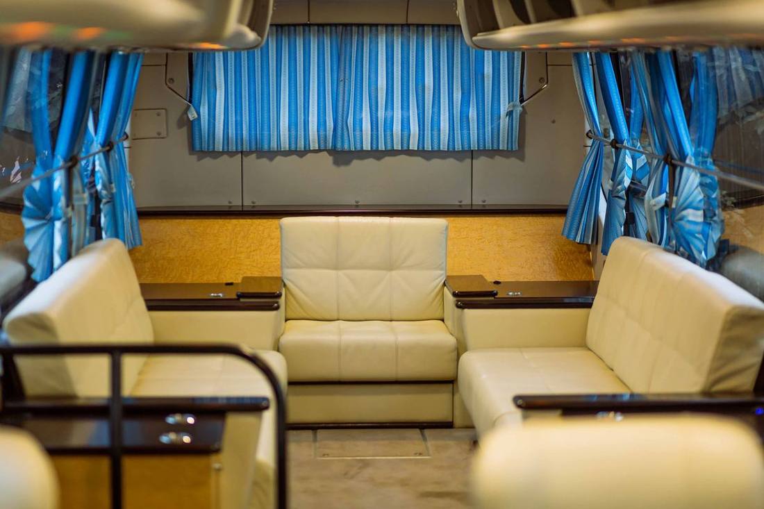
The west end from the driver's seat
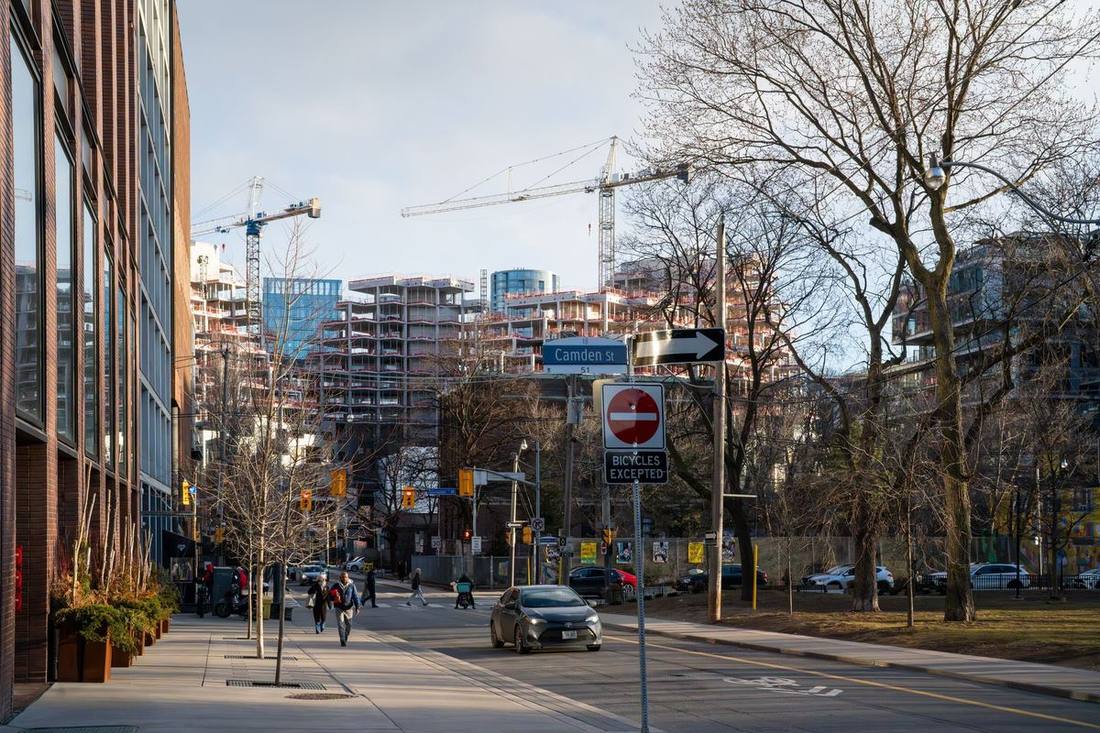
Toronto's west end — Bloor West Village and Swansea by the Humber, High Park and its surrounding streets, Roncesvalles Village to the south-east, and the Junction to the north around Dundas and Keele — is a district of family houses, tree-lined streets, a 400-acre park and three commercial villages. Pearson is 18 kilometres away via the 427 or the 401, 15 to 30 minutes at most hours; Billy Bishop is 20 to 30 minutes along the Gardiner; both are the shortest runs from any established residential neighbourhood in the city.
The west end is where our residential work is easiest: the streets are quiet, the houses have driveways or at least a curb, the airport is close and the routes are many. It is also a district with its own rhythms — the cherry blossoms that close High Park to cars for two weeks each spring, the Roncesvalles Polish Festival that closes the street in September, the Junction's Saturday market and the Bloor West Village's Ukrainian Festival — and its own institutions: St. Joseph's Health Centre, the Runnymede and High Park schools, the Old Mill across the Humber. This page covers the neighbourhoods and their pickups, the park and its closures, the three villages, the airport routes, the hospital and the schools, and a spring weekend worked through.

The neighbourhoods and their pickups
Bloor West Village (Bloor Street from the Humber to Runnymede, with the streets north and south): the village's shops and restaurants along Bloor, with pickups on the side streets (Jane, Windermere, Durie, Beresford) because Bloor is a four-lane arterial with the subway beneath and stopping restrictions at the peaks; the houses on the streets sloping to the Humber and to the lake have driveways. Swansea (south of Bloor to the lake, west of High Park): the streets around Grenadier Pond's west shore and the Swansea Town Hall, pickups at the door; Sunnyside and the Palais Royale on Lake Shore at the neighbourhood's foot. High Park North and the park's east side (the streets along Parkside Drive, High Park Avenue, Indian Road): family streets with the subway at High Park and Keele stations; the park's Bloor Street gates and the Parkside Drive entrances. Roncesvalles Village (Roncesvalles Avenue from Dundas to Queen, and the streets either side): the Polish and now everyone's café street, with the streetcar on Roncesvalles and pickups on the side streets (Howard Park, Garden, Wright, Fern); Sorauren Park and the Sorauren farmers' market. The Junction (Dundas West from Keele to Runnymede, and Keele north): the revived main street of restaurants, shops and the Saturday market, with pickups on the side streets (Quebec, Pacific, Indian Grove) and the Junction's triangle of rail lines that make its streets a puzzle for visiting drivers. Baby Point, Lambton and the Humber: the estate streets on the river's bluff, pickups at the door. The Bloor West and High Park guide has the street notes.
High Park and the cherry blossom closures
High Park is 400 acres between Bloor and the Queensway, Parkside Drive and Ellis Avenue: Grenadier Pond, the zoo, the Hillside Gardens, the trails, the Shakespeare-in-the-park amphitheatre in summer, and the Sakura cherry trees whose bloom in late April or early May draws hundreds of thousands of visitors in a fortnight — during which the City closes the park's roads to vehicles entirely, and the surrounding streets to non-residents on peak weekends. Pickups for a blossom visit are at the Bloor Street gates (High Park subway) or on Parkside Drive's east side outside the closure, agreed in advance with a walking route; the cherry blossom guide has the dates and the closure maps, which change each year with the bloom forecast. Outside blossom season the park's roads are open to cars on weekdays and closed on weekends and holidays, and the Grenadier Café's lot and the Bloor gates are the drops for a family afternoon or the summer theatre.
Pearson: the west end's easy airport
From Bloor West Village and Swansea, Pearson is the Gardiner west from the Humber to the 427 (15 to 25 minutes), or Jane or Runnymede north to the 401 and the 427 (18 to 28); from the Junction, Keele or Weston Road to the 401 west (15 to 25); from Roncesvalles, the Gardiner (18 to 30). Peak times add ten to twenty minutes rather than the forty they add downtown, because the west end sits between the two routes and the chauffeur has a choice at every hour. The Pearson page has the timing tables; the west end's Pearson fare is among the lowest in the city and its residents book it accordingly — the 5 a.m. departures, the family trips, the parents arriving with meet and greet. Billy Bishop is the Gardiner or Lake Shore east to the Quay, 20 to 30 minutes off-peak, 30 to 45 at the peaks; a good option from here for the Ottawa and Montreal flights.
Roncesvalles and the Junction: the villages' nights
Roncesvalles' cafés, bakeries, wine bars and restaurants fill from breakfast to late, and the Junction's Dundas West strip has become one of the city's dinner destinations in a decade; both are streetcar or arterial streets with pickups on the side streets and both have festivals that close them — the Roncesvalles Polish Festival in September, the Junction Summer Solstice festival in June, the Junction's holiday market. Dinner in either village is a point-to-point with the chauffeur naming the side street, or an hourly booking if the evening continues to the Junction's bars or downtown; the fine dining evening article includes the west end's rooms, and the Ossington and Dundas West strips a few minutes east are covered in the Liberty Village guide.
St. Joseph's, the schools and the institutions
St. Joseph's Health Centre at the Queensway and Sunnyside is the west end's hospital, with an entrance loop off the Queensway and the standing-order pattern for older residents; Runnymede Healthcare Centre on Runnymede is the rehabilitation and long-term care facility; the downtown hospitals are 20 to 30 minutes east. The west end's schools — Runnymede, Humberside and Western Tech collegiates, the Bloor West and High Park public schools, the private schools downtown and in Forest Hill that west-end families drive to — generate the school-run standing orders; the school runs article covers the handover. The seniors' guide and the medical appointments article describe the weekly arrangements.
The Humber, the Old Mill and the lakeshore
The Humber River is the west end's western edge, with the Humber trails, the Old Mill Toronto hotel and event venue on its west bank (the Etobicoke guide covers its porte-cochère; it is the west end's grand wedding venue and Sunday brunch), and the Humber Bay Arch Bridge carrying the waterfront trail across the river's mouth. Sunnyside Beach, the Palais Royale and the Sunnyside pavilion on Lake Shore are the neighbourhood's lakeshore, ten minutes south, and the Palais is the other grand wedding venue; the venue notes cover both.
The Junction's rail triangle and the north
The Junction takes its name from the rail lines that meet north of Dundas, and the triangle of tracks makes its streets — Keele, Dundas, Dupont, the streets around the Stockyards — a puzzle of level crossings and dead ends that visiting drivers get wrong and our chauffeurs do not. The Stockyards' big-box district at St. Clair and Keele, the Weston Road corridor north to the 401 and the UP Express's Bloor and Weston stations are the Junction's northern neighbours; the UP Express from Bloor station is the west end's honest Pearson alternative for a single traveller, and the comparison says when.
A spring weekend in the west end, in cars
Saturday 6:00 a.m. — a sedan from a Swansea driveway to Terminal 1 via the Gardiner and 427, nineteen minutes. 10:00 — an SUV from Roncesvalles to the High Park Bloor gates for a cherry blossom morning; the park's roads are closed, the drop is agreed, and the chauffeur is released. 1:00 p.m. — the same chauffeur at the Parkside Drive pickup point outside the closure, and the family to a Bloor West Village lunch, waiting on Durie Street. 6:30 — a premium sedan from the Junction to a Yorkville restaurant for a birthday, hourly, home at 10. Sunday 9:00 — a Sprinter from Baby Point to a Niagara winery brunch for an extended family, the QEW at the door, home by 4. Sunday 5:00 p.m. — a car to Pearson for grandparents flying to Vancouver, meet and greet at the departures curb. Every trip a fixed fare.
The west end to everywhere
| From Bloor West Village to | Route | Off-peak | Peak |
|---|---|---|---|
| Pearson | Gardiner → 427, or Jane → 401 | 15–25 min | 25–40 |
| Billy Bishop | Gardiner → Lake Shore east | 20–30 | 30–45 |
| Financial District | Gardiner east or Bloor | 18–28 | 30–50 |
| Yorkville | Bloor east | 18–25 | 30–45 |
| The Junction | Runnymede north → Dundas | 5–10 | 8–15 |
| Roncesvalles | Bloor east → Roncesvalles south | 8–12 | 12–20 |
| High Park (Bloor gates) | Bloor east | 3–6 | 5–10 |
| Mississauga (Square One) | Gardiner → QEW → Hurontario | 20–30 | 30–50 |
Booking a car in the west end
The engine prices any west-end address; for the villages' restaurants, put the restaurant in the notes and the chauffeur names the side street; for High Park in blossom season, the confirmation carries the closure and the pickup point.
Dundas West, Bloordale and the west end's newer strips
East of Roncesvalles and the Junction, Dundas West through Brockton and Bloor through Bloordale have become restaurant and bar strips in the last decade — the rooms on Dundas West between Lansdowne and Dufferin, the Bloor strip from Lansdowne to Dufferin, the Ossington strip further east — and the west end goes out there as much as in its own villages. Both are streetcar or arterial streets with pickups on the side streets (Brock, St. Clarens, Margueretta on Dundas; Emerson, Bartlett on Bloor), and a night that starts in the Junction and ends on Ossington is an hourly booking with the chauffeur naming the side street at each stop. The Liberty Village guide covers Ossington and the King West edge; the Dufferin Mall and the Bloor-Dufferin corner are the strips' anchors.
The west end's families and the school run
Bloor West, Swansea, High Park and the Junction are among the city's most family-dense neighbourhoods, and the school run is the west end's standing order: the public schools' drop-off loops on the side streets, the Catholic schools' the same, and the private schools downtown and in Forest Hill that a Swansea family drives to via Bloor and Avenue Road. The pattern — the same chauffeur, the same car, the school's loop, a named handover — is set up in one conversation and paused for holidays by text; the standing orders article has the mechanics and the unaccompanied minors guide the handover rules. Hockey at the arenas, swimming at the High Park and Swansea pools and music at the Conservatory fill the afternoons.
Corporate west end and the UP Express corridor
The Junction's and Bloordale's converted buildings house studios, agencies and small tech companies; the Stockyards' district and the Weston Road corridor house logistics and manufacturing; and the UP Express's Bloor and Weston stations put the west end on the airport's rail line. For the companies, corporate accounts cover the Pearson run (short from here), client pickups with meet and greet and hourly days; for the individuals, the UP Express from Bloor station is the honest single-traveller alternative and the car is the family's and the early departure's tool. The UP Express comparison works the numbers from the west end, where the train is closest to competitive.
Booking notes for the west end
Three small things. In blossom season, take the pickup point the confirmation gives; the park's closures are not negotiable and the chauffeur knows where the police are. For the villages' restaurants, name the room and the chauffeur names the side street. And for Pearson, the west end's buffer is the smallest in the city — but the Gardiner's closure weekends still apply, and the confirmation carries them.