Toronto, neighbourhood by neighbourhood
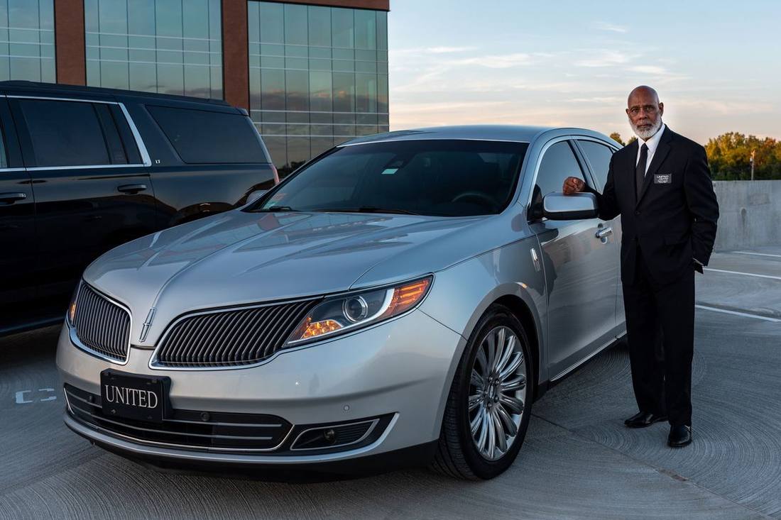
Black car service in Toronto is a local business, and the local knowledge is most of the value: which door of a Bay Street tower, which gate of the Distillery, which cross street on King West, which side of Union Station. These twelve guides cover the neighbourhoods we work most — the downtown quarters where the hotels, restaurants and venues are, the midtown and inner-suburban districts where our residential clients live, and the east and west ends with their own pickup logic — and each one explains the streets, the hotels and venues, the routes and times to Pearson and Billy Bishop, who books there and how, and a day or a night worked through in cars.
Downtown: the Financial District, Yorkville, King West and the Entertainment District, the Distillery and St. Lawrence, Harbourfront and Liberty Village. Midtown and north: Midtown and North York. East and west: Scarborough, the Beaches and Leslieville, Etobicoke and Bloor West, High Park and the Junction. The 905 municipalities have their own city guides.
Reading the board
The board on this page shows each neighbourhood's distance and typical off-peak drive to Pearson Terminal 1; the guides explain what "typical" means at 5 p.m. on a Friday. Fares are fixed for your exact address — the engine prices them — and the fares page explains how a neighbourhood's distance, the hour and the vehicle class combine.